Books
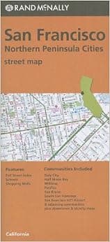
San Francisco, northern peninsula cities street map, CA Rand McNally (Orange Cover)
★★★★★4.6·30 ratings
Rand McNally 's folded map for San Francisco is a must-have for anyone traveling in and around this part of California, offering unbeatable accuracy and reliability at a great price. Their trusted cartography shows all Interstate, U.S., state, and county highways, along with clearly indicated parks, points of interest, airports, county boundaries, and streets. The easy-to-use legend and detailed index make for quick and easy location of destinations. You'll see why Rand McNally
- ASIN
- 0528007661
- Embedding
- CLIP ViT-L/14 · 768d
- Distance metric
- cosine
- Doc fetch
- 2mscache hitGET /v2/namespaces/amazon-products/documents/0528007661
- Similar query
- 30msnearest_to_id → /query
Doc fetch goes through Layer's Aerospike pull-through cache; cache hit served the row without touching turbopuffer. The similar query asks Layer for nearest neighbors of the stored product vector — queries don't go through the doc cache, so no cache header is set.
Visually similar
You might also like
Books
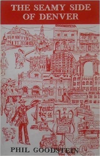
The Seamy Side of Denver
★★★★★4.5·14

Books
A travelers prayer of California mountains . .
★★★★★3.0·1

Books
Berenice Abbott (Photofile)
★★★★★4.9·13
Books
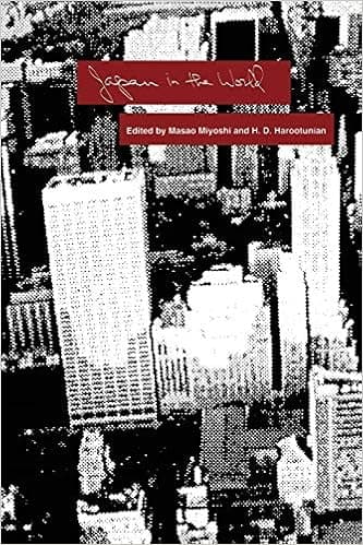
Japan in the World
★★★★★5.0·1

Books
Central Panama Bird Guide (Laminated Foldout Pocket Field Guide) (English and Spanish Edition)
★★★★★4.6·5

Books
Artania (The Greater Continent)
★★★★★5.0·1
Books
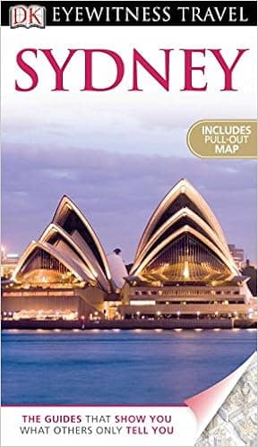
DK Eyewitness Travel Guide: Sydney
★★★★★4.5·17

Books
The Poetry of Llywarch Hen: Introduction, Text, and Translation
★★★★★5.0·2