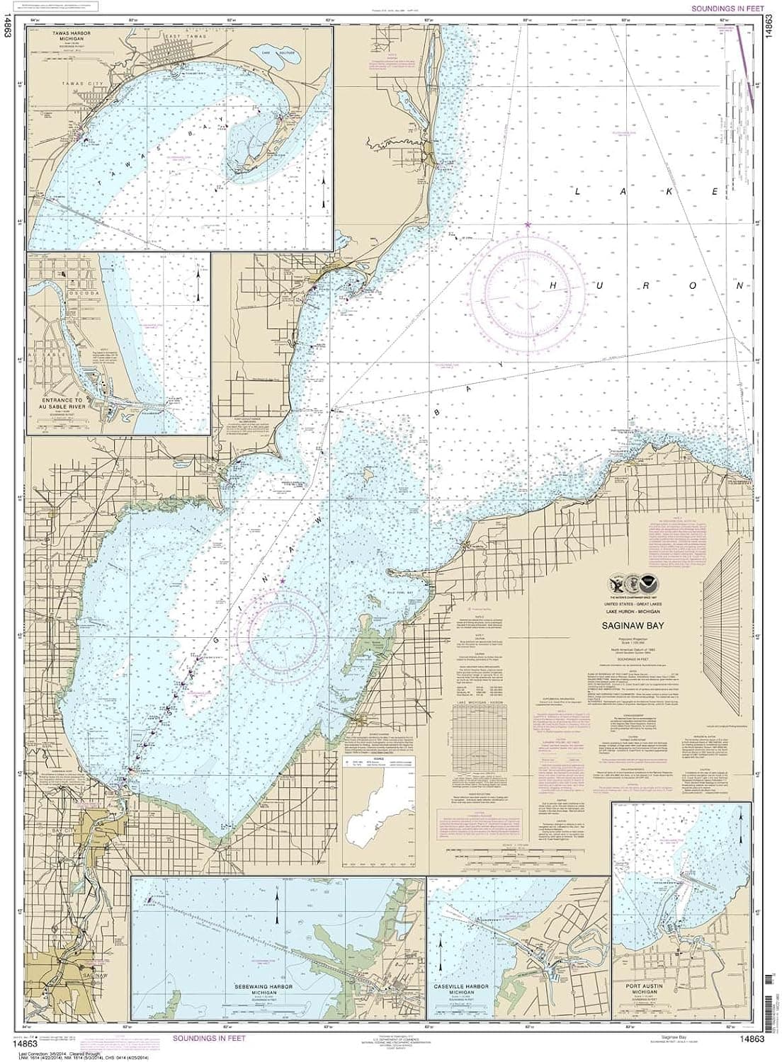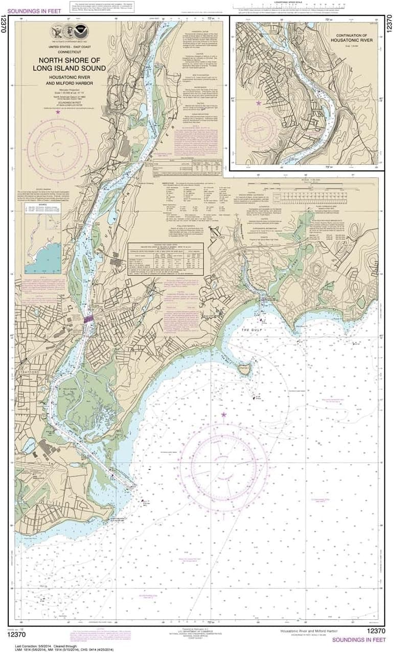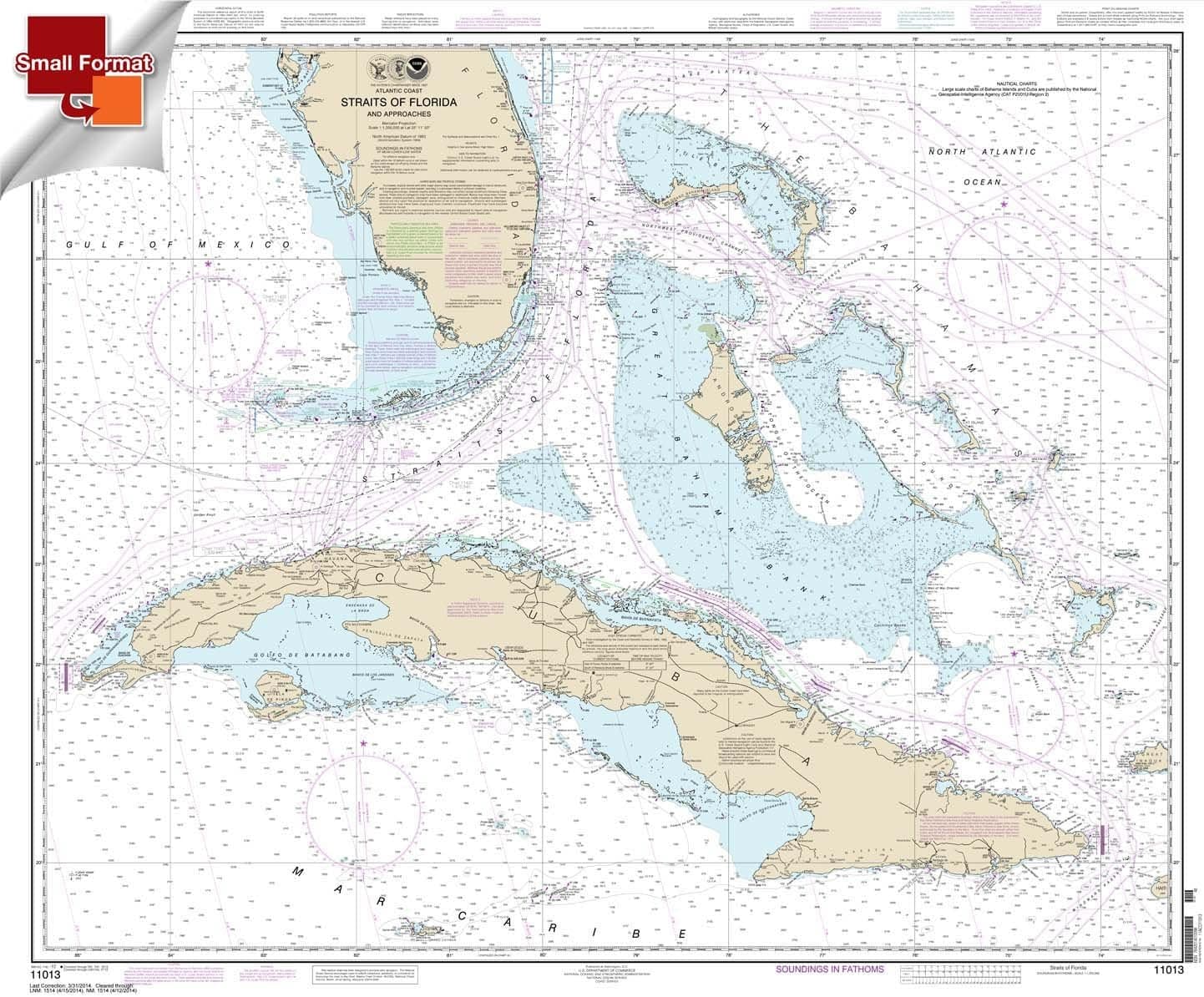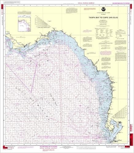
NOAA Chart 1114A: Tampa Bay to Cape San Blas (Oil and Gas Leasing Areas)
The chart you are viewing is a NOAA standard nautical chart. Printed "on-demand," it contains all of the latest notice to mariner (NTM) updates as of the time of printing. The National Oceanic and Atmospheric Administration (NOAA) has partnered with OceanGrafix to provide commercial and recreational mariners with the most accurate nautical charts. These charts meet the definition of a nautical chart laid out in SOLAS Chapter V Regulation 2.2 and also meet the carriage requirements defined in SOLAS Chapter V Regulation 19.2.1.4
- ASIN
- B00J8N29YK
- Embedding
- CLIP ViT-L/14 · 768d
- Distance metric
- cosine
- Doc fetch
- 2mscache hitGET /v2/namespaces/amazon-products/documents/B00J8N29YK
- Similar query
- 34msnearest_to_id → /query
Doc fetch goes through Layer's Aerospike pull-through cache; cache hit served the row without touching turbopuffer. The similar query asks Layer for nearest neighbors of the stored product vector — queries don't go through the doc cache, so no cache header is set.
You might also like