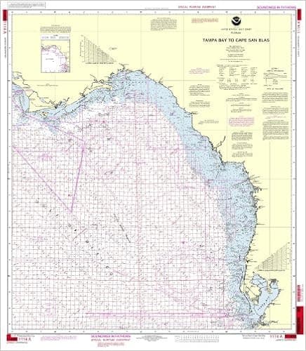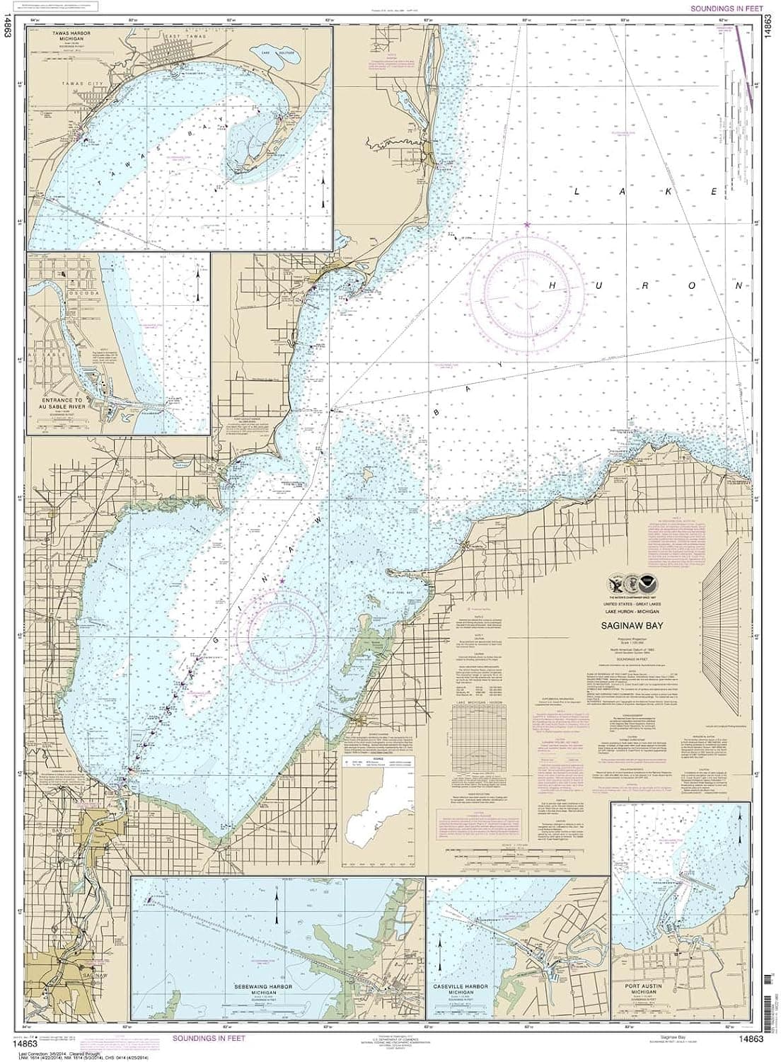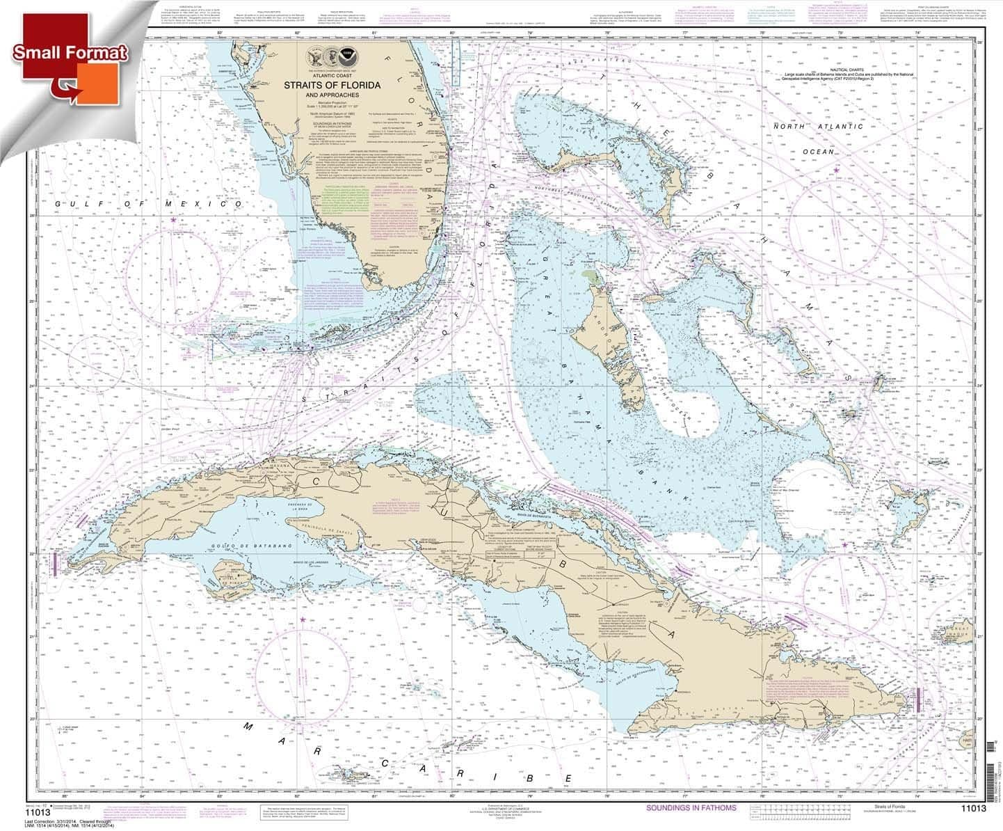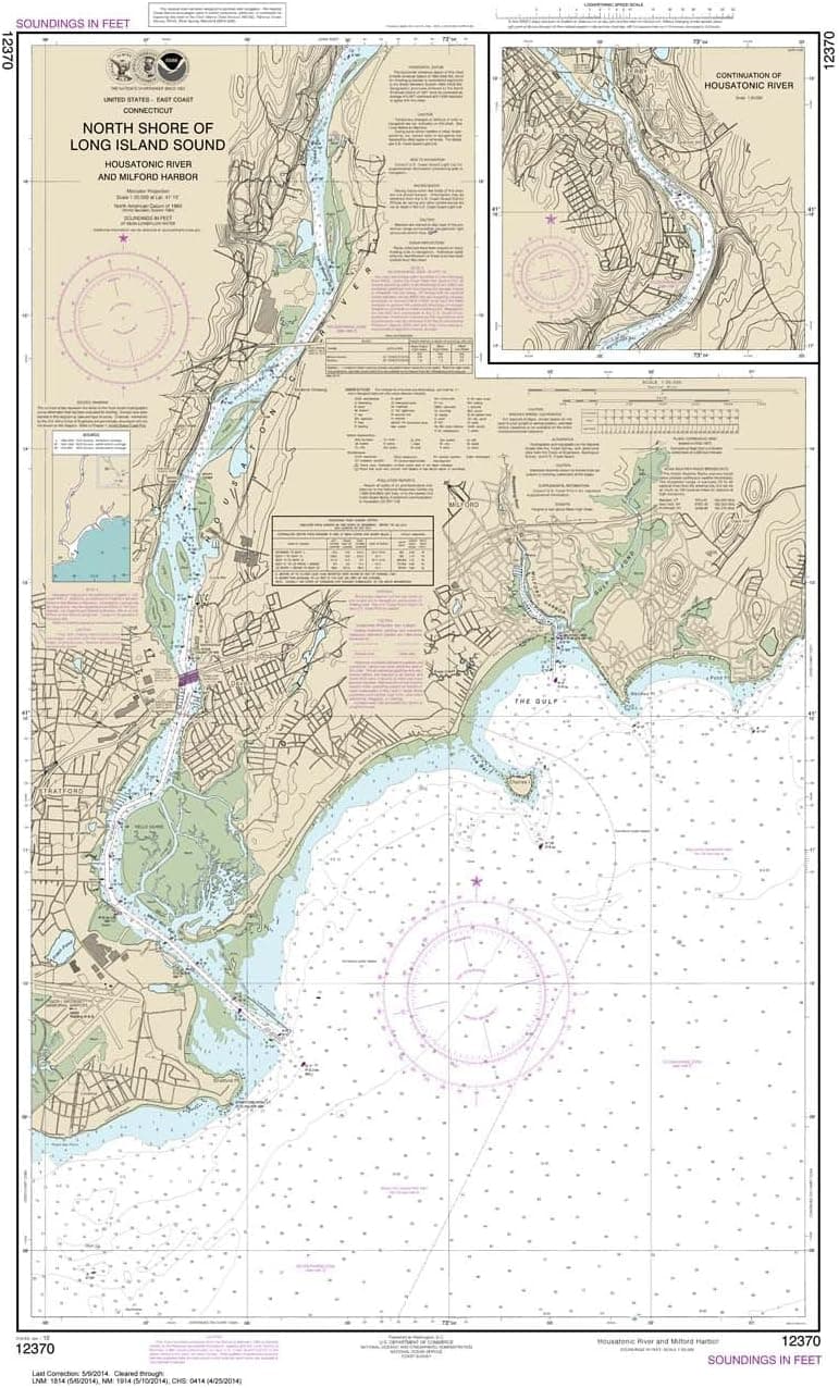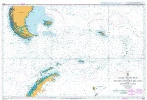
UKHO BA Chart 3200: Falkland Islands to South Sandwich Islands and Graham Land
Admiralty standard nautical charts comply with Safety of Life at Sea (SOLAS) regulations and are ideal for professional, commercial and recreational use. Charts within the series consist of a range of scales, useful for passage planning, ocean crossings, coastal navigation and entering port. Mariners should always use the largest scale nautical chart appropriate to their needs. In particularly busy seaways such as the English Channel, Gulf of Suez and the Malacca and Singapore Straits, the standard nautical charts are supplemented by mariners' routeing guides which provide advice on route planning in these complex areas. Admiralty nautical charts are corrected to the latest notice to mariners (NTM) by our trained cartographer at the point of sale. It is the mariner's responsibility to maintain and correct the chart onwards to be in compliance with SOLAS regulations and to ensure safe navigation.
- ASIN
- B00JWZAH52
- Embedding
- CLIP ViT-L/14 · 768d
- Distance metric
- cosine
- Doc fetch
- 3mscache hitGET /v2/namespaces/amazon-products/documents/B00JWZAH52
- Similar query
- 33msnearest_to_id → /query
Doc fetch goes through Layer's Aerospike pull-through cache; cache hit served the row without touching turbopuffer. The similar query asks Layer for nearest neighbors of the stored product vector — queries don't go through the doc cache, so no cache header is set.
You might also like